21 May until 1 June 2011
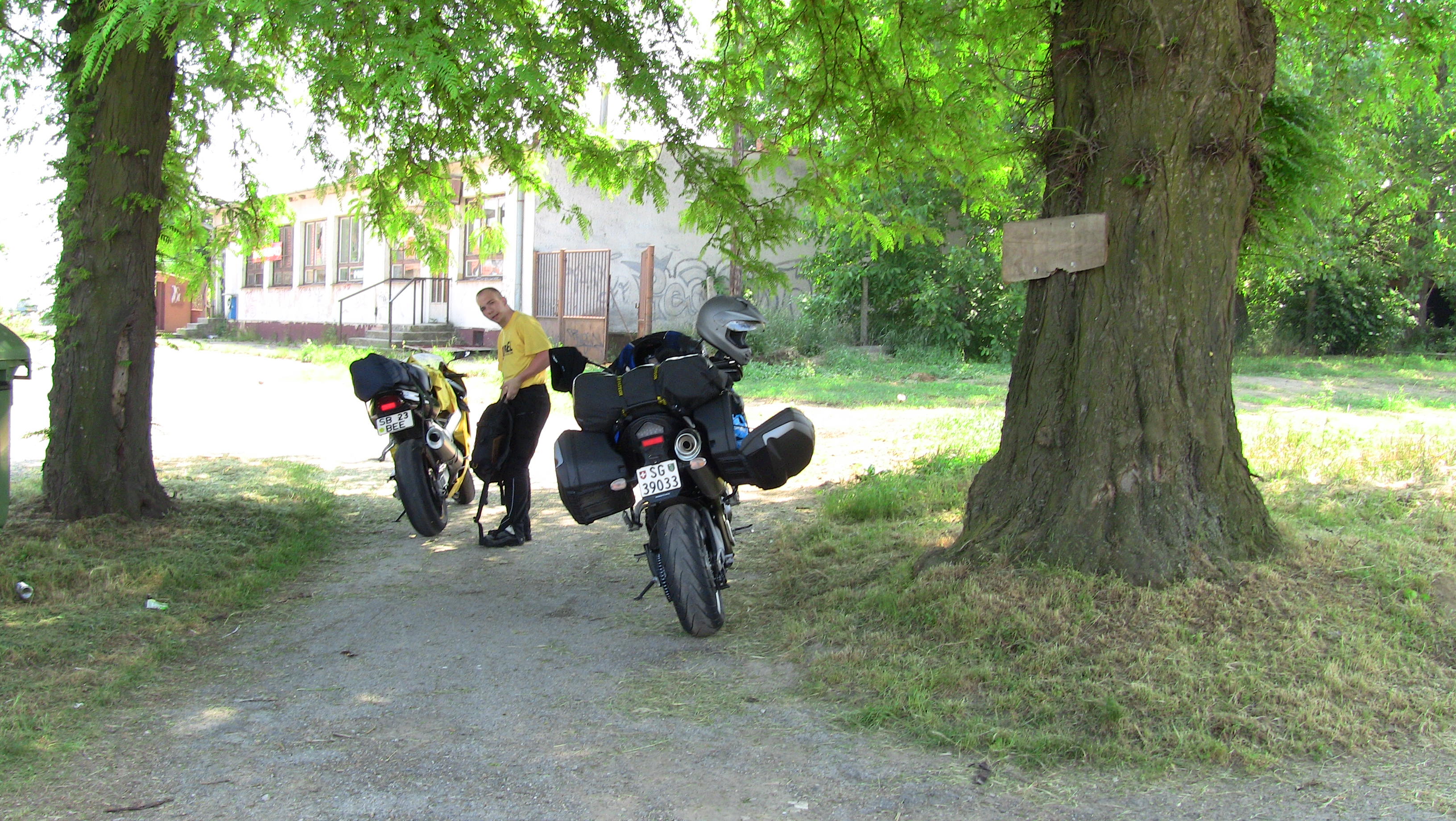
I take off on Saturday 21 May. My idea is to meet with Alex at Lake Balaton in Hungary on Sunday evening. The weather is thundery and unstable on the North side of the Alps - as it has been for the last two weeks. In fact it is like that in wide parts of Europe. On the South side of the mountains it looks slightly better, so I have a very early start to beat those thunderstorms which are certain to develop later today and take the fast route via the San Bernadino pass into Northern Italy.
North of Milano I reach the E64 main east-west trunk road and head east towards Bergamo, Verona and Padova. North of Verona a gigantic thunderstorm has developed over the Brenner pass; the cold air pouring down the sides of that monster lowers the temperature here where I bike for about 30 minutes by 10 degrees.
By 4 pm I am near Venice, but I can see a black wall of clouds ahead of me over Gorizia and the range of the Julian Alps. Flashes of lightning indicate that I shall not pass into Slovenia today, so I leave the road at Ronchis and head south towards Portogruaro. I have a look at several hotels; two are closed, i. e. they open at 5.30 pm but are closed before that, their owners
probably enjoying a siesta. The next one looks filthy and charges 70 Euros per night. Finally I arrive at the hotel Da Marcello in Concordia Sagittaria, a town near Portogruaro.
Though they usually are closed this time of the day just like those other two places, here the owners
are awake and unlock the doors for me. For 65 Euros I am offered accommodation, full evening diner and breakfast. For Northern Italy in 2011 this is very reasonable.
I am shown around and the key for the wireless LAN is handed over to me together with the room key without me having to ask for it - these people sure know how to run a hospitable place.
After a decent evening meal I check the weather and see that the way over the Alps into Hungary is again completely blocked by the highly unstable weather conditions and the
resulting thunderstorms who will again begin at noon at the latest. So I sent a mail to Alex and the hotel in Hungary, telling them that I will be 24 hours delayed and extend my
stay here to 48 hours.
Next morning the sweltering air form yesterday is still lying like lead over the country. It is again hazy and that is one reason why up to now I have not yet taken a single picture.
I have plotted a brief 150 km round trip towards Venice, but of course I do not ride into the city - I suppose you all agree with me that it is useless to ride a motorbike into a city where all
the streets are flooded. So I turn back inland at the Marco Polo airport and enjoy some more of the nice Ventian countryside - while behind me over the mountains another load of thunderstorms unload their rage.
The weather for tomorrow and that long ride into Hungary is not ideal, but there should be only a little rain.
I take the motorway to Trieste next morning, fill up my tank and buy a Slovenian motorbike vignette and then head on eastwards. This country is really beautiful, but - unusual for me - I am in a hurry because this weather window
wants to be exploited. Tomorrow the rainstorms will be back in these mountains, so I rush through the country, around Ljubljana (where I get a little bit of rain, but as expected, not very much) and onwards to Maribor.
From there I turn onto the E653 and ride close to the Croatian border towards the Hungarian border near Pince.
Like the Slovenians the Hungarians operate a vignette system on their motorways. The big difference is that Hungary is so flat that on the normal highways one is only marginally slower than on the motorways.
So in spite of my tight schedule I leave the motorway and bike through Hungary on National Road 7 which runs roughly parallel with the motorway, but is much nicer to bike.
I have the impression that these National roads in Hungary are no longer as good as they were 10 years ago; the Hungarians feel the current financial crises obviously just like the rest of Europe and have
begun to neglect necessary infrastructure maintenance.
Soon I reach the balaton lake. The motorway runs a few kilometres south from here, but National Road 7 just follows the shoreline of the lake. It is now 3 pm and I can see a couple of big thunderstorms
developing over the flat land east and south of me. But the cooling effect of the big lake prevents any of those unpleasant things from rising close to the water. Suddenly I see a cash dispenser outside a roadside bank. That is the first one I see since entering this country.
I stop there and get me some forints as petty cash. Hungary is the first country on this journey (aside from Switzerland) that does not yet use the Euro as currency.
An interesting feature along the lake is that every town and village name begins with "Balaton"...
An hour later near Balatonvilágos I turn north onto the N71 road an 30 minutes later I arrive at Balatonkenese, my destination.
As expected Alex bike (called Suki) is already parked outside the hotel Marina Port. I put my Tigger next to her and go and say hello to Alex.
Our room has a nice view over the lake and a balcony, but that is about the only good thing you can say about it; an invasion army of tiny ants has taken over the room and the air conditioner
was last in working condition when Emperor Franz Josef was staying here.
Alex arrived safely (and dry) from Romania yesterday, but tells me that he spent most of today searching for a cash machine. There seems to be an inexplicable shortage of these things in this country.
We have a look at the weather charts; the ususal thunderstorms in the south and east, plus rows and rows of depression systems out over the
Atlantic Ocean are heading our way, but the area to the north and west of us seemingly will be dry for two or three days before the next depression arrives. We decide on the spot to head Northwest tomorrow.
The weather is good when we set out next morning via Veszprém northwards into the beautiful forests and parks that line the northern shores of the lake nearly all the way to Győr. Beyond Győr we cross the Danube river which forms the border between Hungary and Slovakia. There are no more forests in Slovakia down here and the roads degrade a bit further on entering the country, but alas we can now pay in
Euros again.
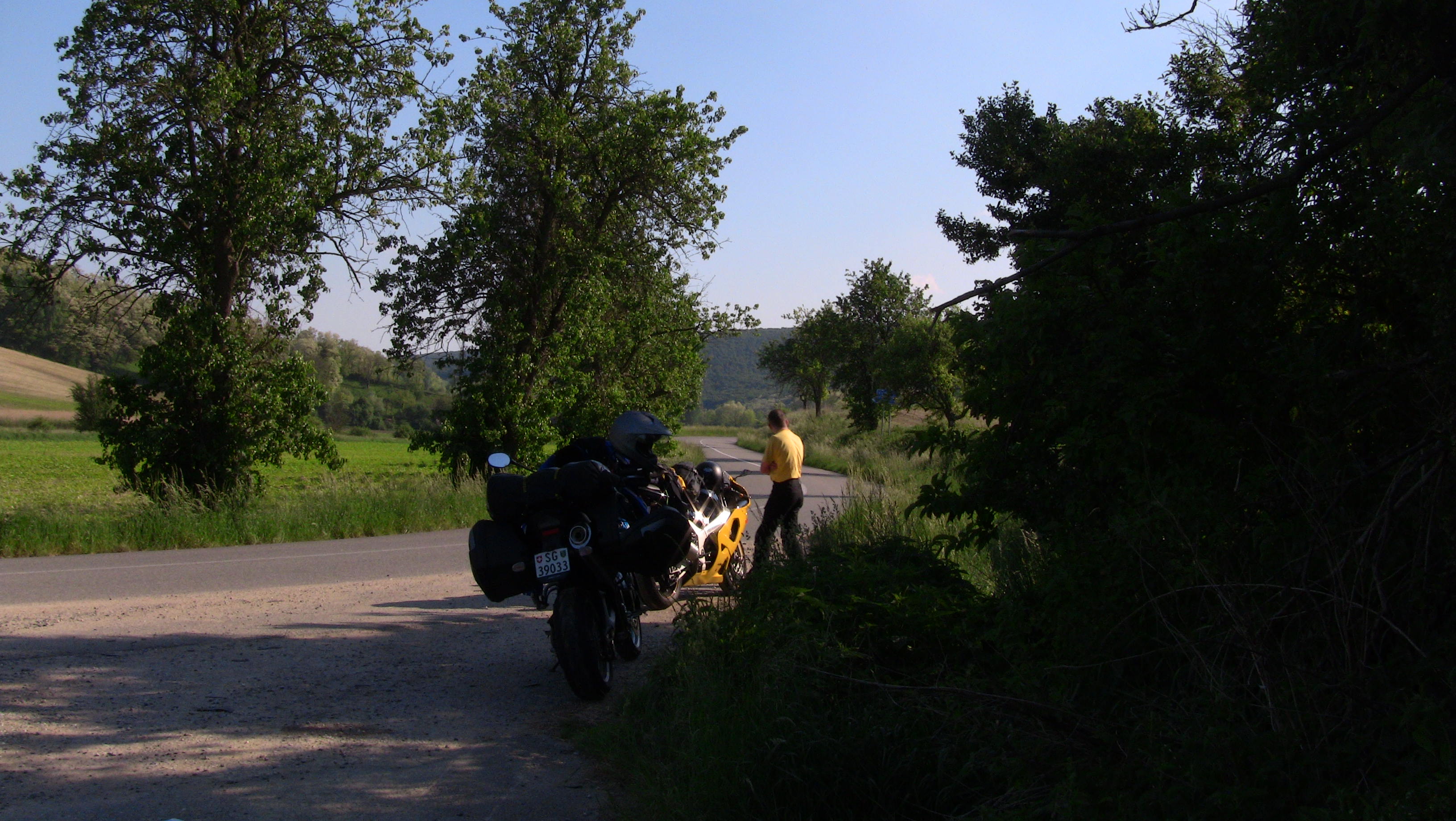
We are driving towards Galanta and the below picture was made a bit later during a break in the village of Sered (click on images for a larger view).
After just under two hours we have already passed all of Slovakia in south to north direction and are now entering the Czech Republic - we are in our third country already for today and it is not even 3 pm. Being in this country
means that it is once more bye-bye to the Euro; here the people pay with Czech Crowns.
While we are happily collecting countries we say to ourselves that this day is good for a fourth one. We have enough petrol in our tanks to get us though this country without refuelling, sparing us the need to get yet another currency out of a cash machine.
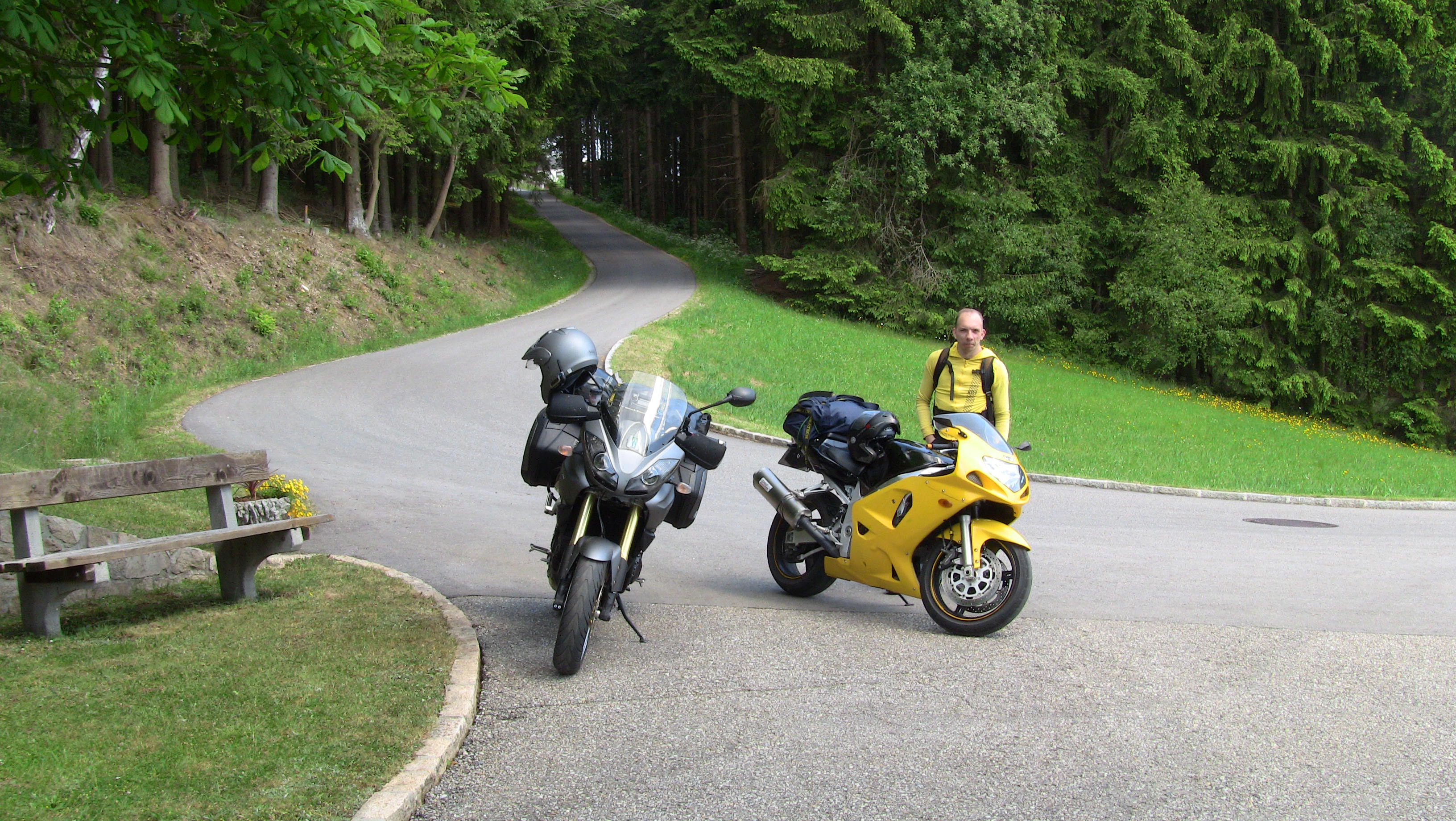
We are practically cutting a corner out of South Moravia via Kyjov and Znoymo. The picture below was taken halfway between Brno and Znojmo near the village of Divaky.
It is nearly 7 pm when we cross into Austria, our fourth country for today (Readers from North America may shake their heads in disbelief, but rest assured that I could plot a course that would traverse seven European countries
in a single day of easy biking without any effort at all). The nearest town is Retz in the Weinviertel (literally meaning "wine quarter") district, a very relaxed and quiet town - exactly what we need after this great day of biking. At the "Weissen Löwen" on the main
town square we find comfortable accomodation (albeit without Internet) and even sheltered parking for the motorbikes - by being directed to ride our bikes through the parlour of the local cinema into the courtyard of the hotel.
Most of the buildings surrounding that peaceful market square (including our hotel) are over 400 years old.
After all is settled we walk to a nearby wine tavern (called "Heuriger" in this part of the world) and finish the day with some excellent local
wine ("Grüner Veltliner") and a nice evening meal, all served outside in a courtyard of an old merchant house. If I had the money I'd do what we did today for the rest of my live...
Next morning our hosts open the cinema foyer again for letting us out and back on the road again. Surprisingly the weather is once more very good and we head westwards through Lower Austria. Do not get confused by that name, this area in neither low nor flat. It is just called that name because it is lower down along the course of the Danube river than Upper Austria (which we reach at about 2 pm in the afternoon).
The roads are excellent and to my utter surprise nearly empty of traffic. This day proves to be even more enjoyable than yesterday.
After a leisurely ride of 380 km we end the day in Schärding in the Innviertel in Upper Austria, directly on the Danube river, which here forms the border between Austria and Germany. The hotel Gugerbauer offers
great accommodation with views over the river and very quiet rooms, plus a garage for the motorbikes. We take an evening stroll along the Danube and have a good meal at an open-air restaurant
in the city centre.
Though we'd both wish this kind of "tramp-biking" could go on forever, a look at the weather charts in the evening indicates that any further riding westwards would get us
directly into the next approaching depression. So we decide to head back south-eastwards tomorrow as this seems to be our best bet for having another dry day.
The initial ride this morning is through the lower regions of Upper Austria and we make quick progress again on well maintained roads with sparse traffic via Neumarkt, Grieskirchen and Grünburg.
Then we follow the valley of the Enns south-eastwards until we reach Weyer from where we then continue trough the valley of the Ybbs river back into the mountains, all the way past its source to Mariazell in Styria.
From there on we are really back at altitude and continue our way to Mürzzuschlag. It is still quite early in the afternoon, so in the knowledge of bad weather being on the way I have plotted a big southerly diversion via Rettenegg
and then back north via the Feistritzsattel and the Pfaffensattel passes, instead of going directly to Semmering. The ride is great and by 6.30 pm we arrive in the village of Semmering. The place has only a few hundred permanent inhabitants, but since the Semmering railway reached the village
in 1854, the inhabitants of Vienna realised that within just two hours of rail journey they could escape the city and be here high up in the mountains. Many hotels were built and the place remains up to this day a popular
resort in summer and winter.
We rent an excellent and spacious apartment at the Hotel Löffler, and their café and restaurant are also of great quality as we find out during our evening meal. Given that bad weather is on its way I have a chat with the landlady, and they even
move their own car out of their private garage to let us use it to shelter our motorbikes during our two-day stay.
The new bad weather system with the by now familiar pattern of thunder and hailstorms plus torrential rain should arrive here at Semmering this afternoon and then move quickly eastwards, leaving us free to continue our ride tomorrow.
So after a lazy breakfast we decide to take the cable-car from the village centre up on top of the Hirschenkogel mountain. The town fathers have launched a clever marketing trick by making that cable-car available for mountain bikers; they can use it to get up the mountain in no time and then
enjoy the rush of thundering downhill with their flimsy contraptions.
Instead of showing one of my pictures from the viewing tower on top of the mountain I give you instead
this link, which should give you access to the live camera feed from the moving webcam on top of the tower.
Yesterday evening the storm front came, though rather later than anticipated. As a result of that delay it is still drizzling when we set out this morning. It is Saturday today and Alex needs to be back at work on Monday, so we continue on an
easterly course out of the mountains and into Burgenland, which we reach near Markt St. Martin. From there it takes just a few minutes to reach the Hungarian border near Deutschkreutz. I drive with Alex a few miles into Hungary, but
at Nagycenk we say goodbye as Alex heads east towards Budapest on the N85 and onwards to Romania, while I head south on the N84.
I drive along the Hungarian-Austrian border (on the Hungarian side) for an hour and then return into Austrian Burgenland at Rattersdorf. A few miles later I re-enter the mountains (and with it the province of Lower Austria, even though that sounds a bit
contradictive) near Kirchschlag in der Buckligen Welt (literally "Place in a humpback world cleared by order of the church") - these Austrians clearly have their own way with words and their meanings.
The ride is again very good, though the weather is again deteriorating in the afternoon while I head north-west via Neunkirchen, Pernitz, the Rohrer Sattel and onwards until I end the day early at 4 pm
(due to the rain starting again) near Kirchberg an der Pielach at the Hotel Steinschalerhof.
I am allowed to park the bike under cover in an inner yard, a place which happens to be directly outside the office window of the landlord, Johann Weiss, who is a motorbiker himself.
Once my Tigger is out of the rain he invites me inside, gets out a map of lower Austria and marks in it all those local byways and little known passes that are a must for motorbikers like me heading north-westwards.
Needless to say that I plot my route for tomorrow into the GPS following exactly the friendly advice received from Mr. Weiss.
It is still moderately overcast next morning, but the rain is gone and the road is dry. According to the advice received yesterday I temporarily turn south-west until I reach the village Puchenstuben and there my route turns right into the Ötscher-Tormäuer Nature Park until I reach the hamlet of Reith on the far side of this glorious diversion. Here is an impression of that part of the world:

During the entire 40-minutes ride I met a single oncoming vehicle. This photo here gives you an idea of the road conditions:

I am now heading back into Styria, or to be more precise through the Hochschwab section of the Northern Limestone Alps via Mariazell and Wildalpen, then into the Gesäuse National Park towards Admont and
Liezen. This is great motorbike country and for a change it does not rain in spite of the overcast conditions. I ride on to Hallein and finally cross into Germany (or more precisely into Bavaria) at Bad Reichenhall.
This entry into Germany is initially a short-lived thing, because after 30 minutes I re-enter Austria near Reit im Winkl - a perfect timing as my petrol is running low and fuel is cheaper in Austria. Another 20
minutes later I cross the Inn river near Oberaudorf which forms the border and enter Germany again. It is now 5.30 pm and I know that I can reach my home place in Switzerland easily tomorrow, so I stop for the
night in Flintsbach at the Dannewirt pub and guest house.
The following morning I turn due west via Miesbach and Bad Tölz through the beautiful scenery of Upper Bavaria. The region beyond is called the Allgäu. This area is mostly between 400 and 900 m above sea
and very pretty. Other than in most other states of the German federation the Bavarian communities keep their secondary road network in pretty good condition, so that I have plotted a route that uses many
minor roads, too.
But inevitably there comes the point where I am forced to enter the worst state of the Austrian federation, the Voralberg. This is a very industrious part of the country with lots of people living on very few habitable portions of land. This is nothing
I can blame the Vorarlbergians for. But what I can blame them for is that up to the border which is located just a few miles beyond Oberstaufen I am allowed 100 kph (60 mph) on the German side. After passing the border into
Austria the road quality improves significantly and the speed limit decreases to 60 kph (36 mph). For the next 15 km my route leads through empty country roads littered with a few tiny villages, but the speed limit constantly remains at
60 kph for the entire distance. Only when the town of Bregenz is reached is this limit changed - to 40 kph (24 mph) or 50 kph. This is not a bad idea, because the traffic through Bregenz on that one road leading around the eastern
shores of lake Constance is
a permenent mayhem. There is a motorway from Germany leading through Austria into Switzerland, but none of those thousands of foreigners coming from the North and wanting to transit to Switzerland or Italy or
elsewhere will bother to buy an Austrian motorway vignette for just those 15 km - instead everyone (including myself) creeps through the exhaust-fume filled city.
Any political party in Austria that would bring in a law to waiver the vignette on that stretch of motorway would immediately win a 90% majority in the affected cities of Bregenz,
Dornbirn and Feldkirch, but as the Vorarlbergians say;
"We are quicker in Paris by car or rail as in Vienna..."
By 3.30 pm I am back home. The plan is to service the bike, change the tyres and then head out somewhere further west. That is a nice plan. However, aside from a few day trips the weather for the remaining time of my vacation (and several weeks after the end of it) never picks up sufficiently to allow for that. So I can finally say that I did not do any bike journey in the last 15 years that was this badly affected by adverse weather.
Below is the usual map with my GPS tracklog.