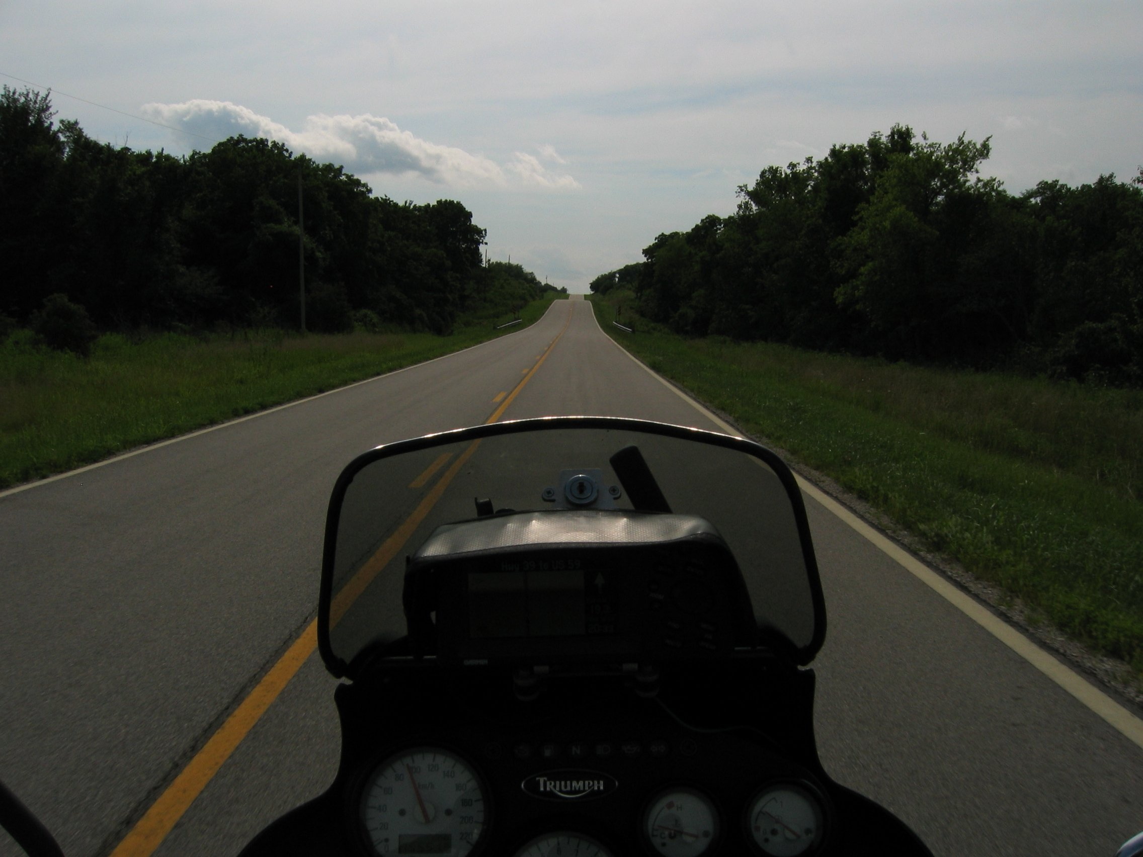
- 152950 km on the bike
The storm came and went, all is well this morning. I set out south-westwards
towards my initial target, Lancaster
County in Pennsylvania.
It is just a two-hour ride and just after noon I arrive there.
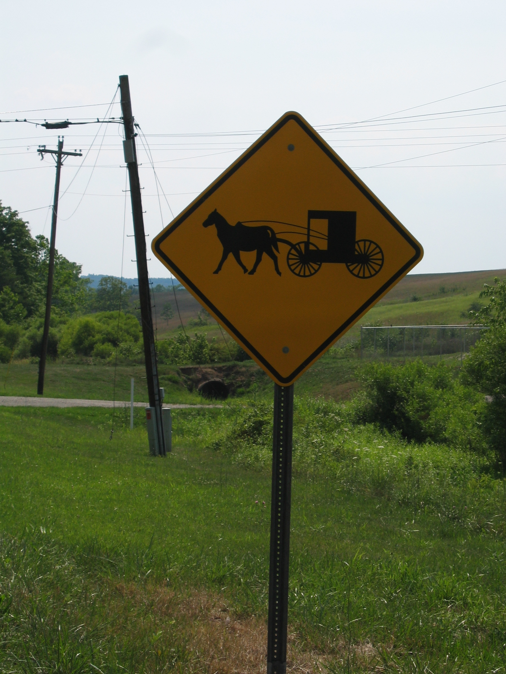
And yes, as expected I see lots of Amish
people. In one garden I see an ordinary, obese US housewife mowing
the lawn with a ride-on mower. Next door a skinny Amish housewife
does the same using an entirely human-powered one.
Horse-drawn carriages are abundant, but I do not take any pictures
of them. I don't think it would be right - alas, they are no zoo
animals.
At Millersville
they have a jet wash. For the first time since my arrival from Europe
do I clean the bike.
I suppose it is needless to say that within the hour after cleaning
the bike dark clouds are chasing me from the north-west.
I divert from my route south-east over the Susquehanna
River using highway 74. One mile before the border to Maryland
I come across the Peach
Bottom motel.
The guys there not only get me a room, but also offer me covered
parking for the bike. And the room is an icebox - the air conditioner
is on full blast.
- 153200 km on the bike
Like yesterday the weather is fine, but hot and humid. And again
we had lots of rain during the night, but this morning the weather
is nice and sunny again.
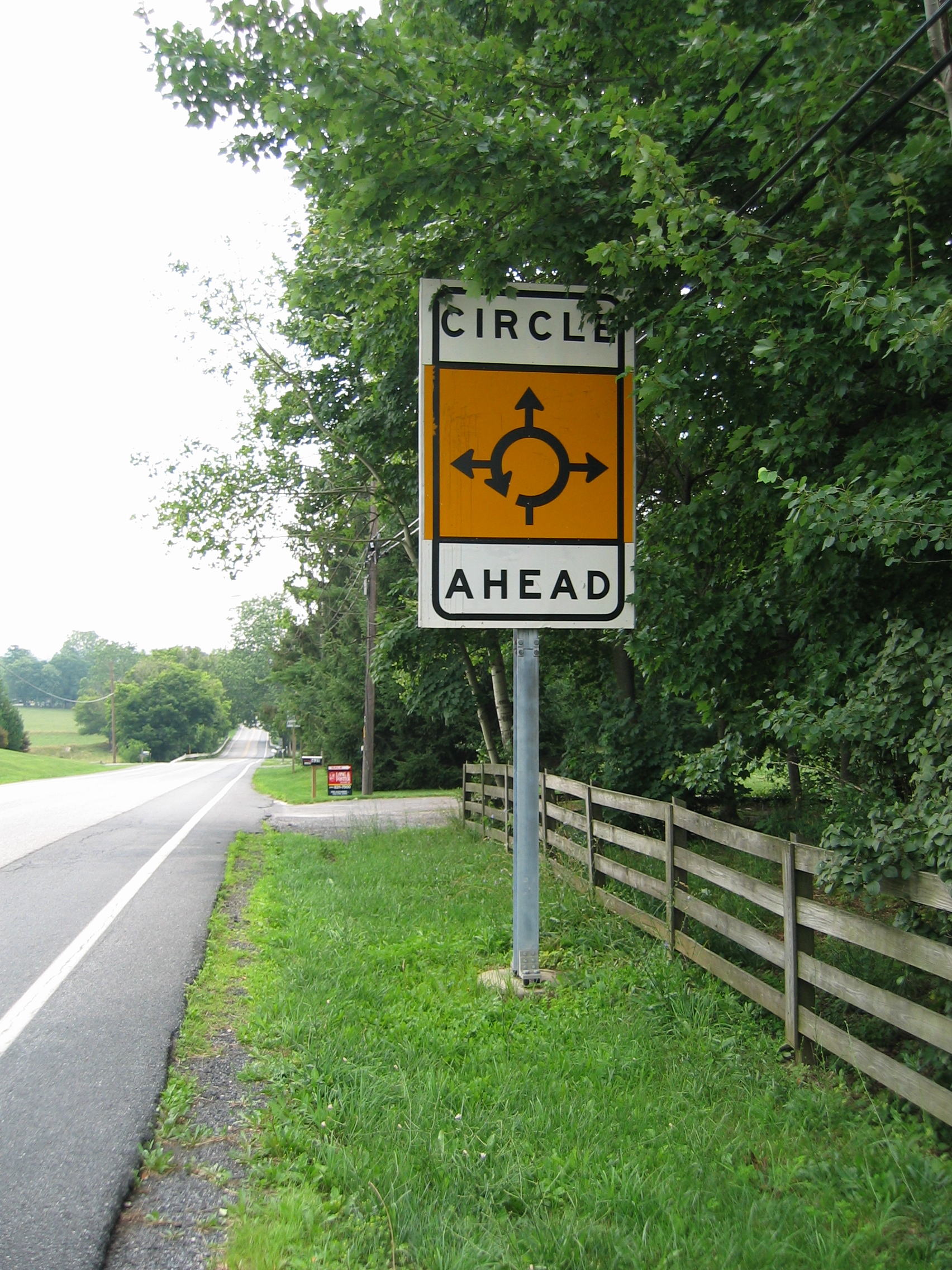
Just a few miles on my way into Maryland I encounter the very first
roundabout
in North America - it only took 6000 km to find it. Half a mile
before reaching the roundabout, large signs have been put up to
explain this strange animal to the unprepared US driver:
If I think about all those hours I have spend sitting before useless
red traffic lights over here - these people could save billions
of hours and zillions of dollars every year by replacing these annoying
traffic lights with roundabouts.
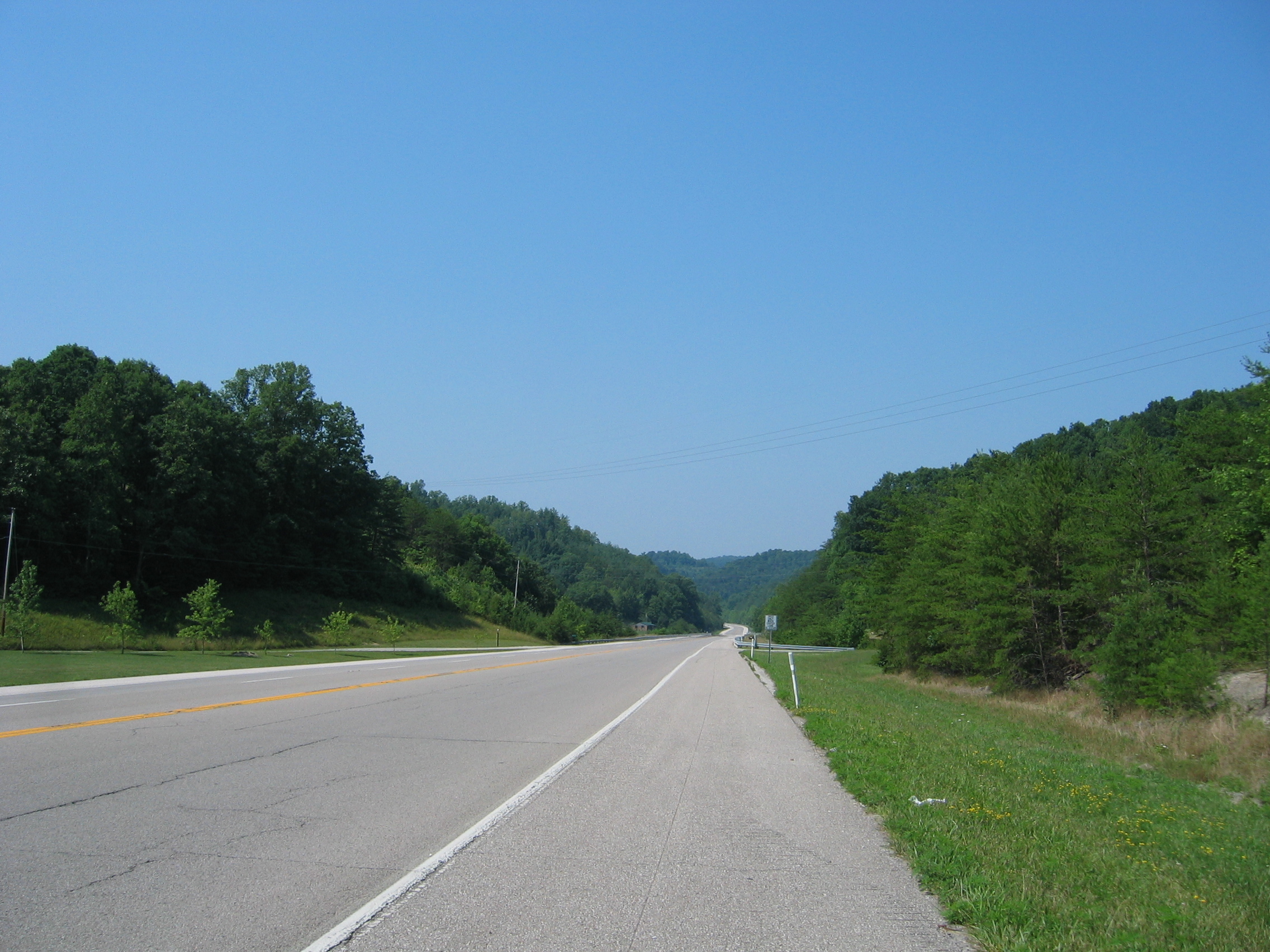
I take the freeway to bypass Baltimore,
but soon I leave it near Frederick
and beyond that town the Appalachian
Mountains are just brilliant biker country.
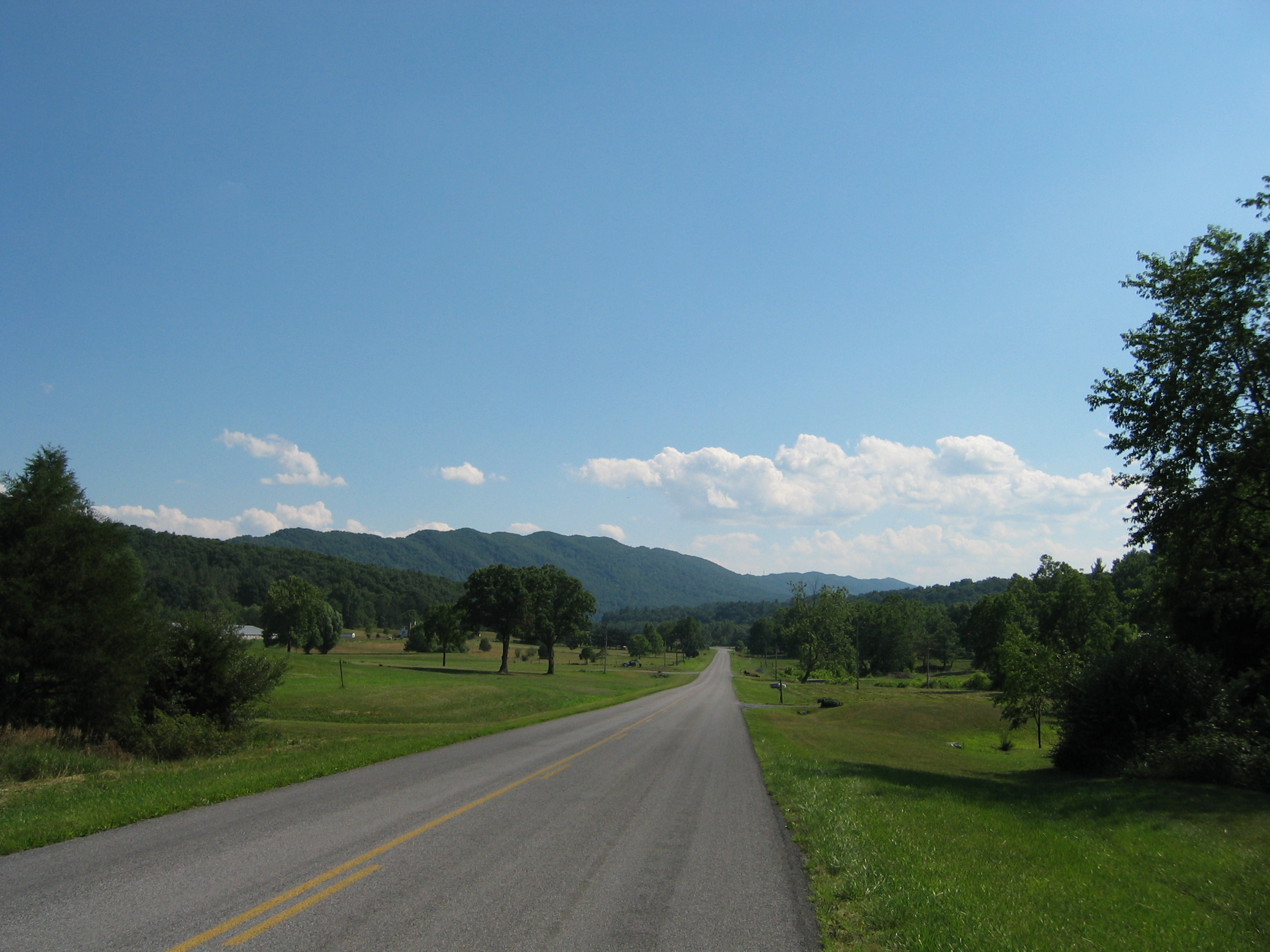
Soon I am back in Virginia,
and biking here is really great. The mountains in this border region
between Virginia and West
Virginia go only up to about 2500 ft., but they are empty and
smooth.
Food for today comes from a pizzeria; the smallest pizza at eight
dollars is "only" 12 inches in diameter - I manage to
eat about two-thirds of it.
The one thing that is really bothering me is the stifling heat and
humidity. Suddenly I have an idea; my protective jacket and pants
have been in a washing machine so many times that they have lost
all of their water-proofing. In fact, my kit is now highly hygroscopic.
I stop at the next brook and simply soak the outside of my pants
and jacket with water from the stream. Jacket and pants "soak
up" about a pint
of water. I get back on the bike - and my makeshift air conditioner
works splendidly. It takes just under an hour to evaporate that
pint of water, and all this time the jacket and pant (and myself)
feel nicely cooled. After the water has evaporated, I just stop
at a petrol station and re-soak my kit at their faucet - and have
another hour of "cool running". Tomorrow I'll make sure
that I have enough water on board to keep me cool for several hours.

State road 826 leads me into West Virginia. As you can see in above
picture, the route is a bit rough. But that picture is nothing compared
to the two fords
I have to wade through. They are running high with last nights rain
and their bottom consists of rough pebbles
- my pants get a free "refill" of the new air conditioning
system and lots of steam is bulging up from my exhaust system.
This is nothing for the un-initiated, but thanks to my offroad experience
I get through OK. I finish the day in Franklin,
where the local pizzeria also comprises a cozy motel.
- 153650 km on the bike
If you'd have a look around my motel room in the morning, you'd
probably wonder where I am going to stow away all that kit? There
is usually the laptop, the camera, the GPS and lots of cables and
computer stuff strewn around. Then there is all that bike gear and
wet gear, lots of clothing, bags full of laundry, bags full of pipes
and other knickknack - in short, the room looks like an army has
camped here. But in reality it takes me less than 15 minutes to
make all this stuff disappear into and onto the bike. I also do
not really need to check anymore, if I really packed everything.
I have done it so often, that I know the size and weight of each
bag and pannier, and notice immediately if something is missing.
So when waking up at 8.30 this morning, the sequence of events goes
like this on most other days, too:
1. Check weather outside (which is even hotter today than yesterday)
2. Do the chores, shower, shaving etc.
3. Plot a route for today based on the latest weather info into the
GPS
4. Grease the bikes drivechain and re-fit the GPS
5. Check e-mail, telephone messages, NOAA
website
6. Put baggage and computer away and onto the bike
7. Get into my bike gear - and we're off...
All of the above takes about one hour, so by 9.30 am I am under way. And what a way that is today.
West Virginias road makers must all be bikers. They
have put in just the right type of curves and bends into these roads;
you can still roar through them at full speed, but at the same time
leaning over quite a bit. I can hardly wipe the smile off my face, it
really is so good.
The large number of local bikers her on US
route 33 are proof, that my choice was not a bad one.
The road is smooth and the miles are clocking up fast. Elkins
just rushes by, then Buckhannon
and soon I reach Spencer,
where they give me directions at a petrol station to their only Chinese
restaurant in town. A Wonton
soup and some chicken chow
mein sort me out for the day regarding food.
It appears that this particular restaurant offers an "all you can
eat" lunch special for a flat fee. At the next table sit two grossly
obese females with two kids who are quite fat already, but these two
are obviously still working on achieving that unique state of near total
disability due to extreme obesity
and complete dietary disregard for health or looks which the older women
have reached. In those 30 minutes it takes me to eat my soup and chicken,
these four visit the lunch buffet each at least three times, returning
every time with another plate loaded with a mountain of food. I discretely
slide around my table and turn my back to that horror show of gluttony
at the next table.
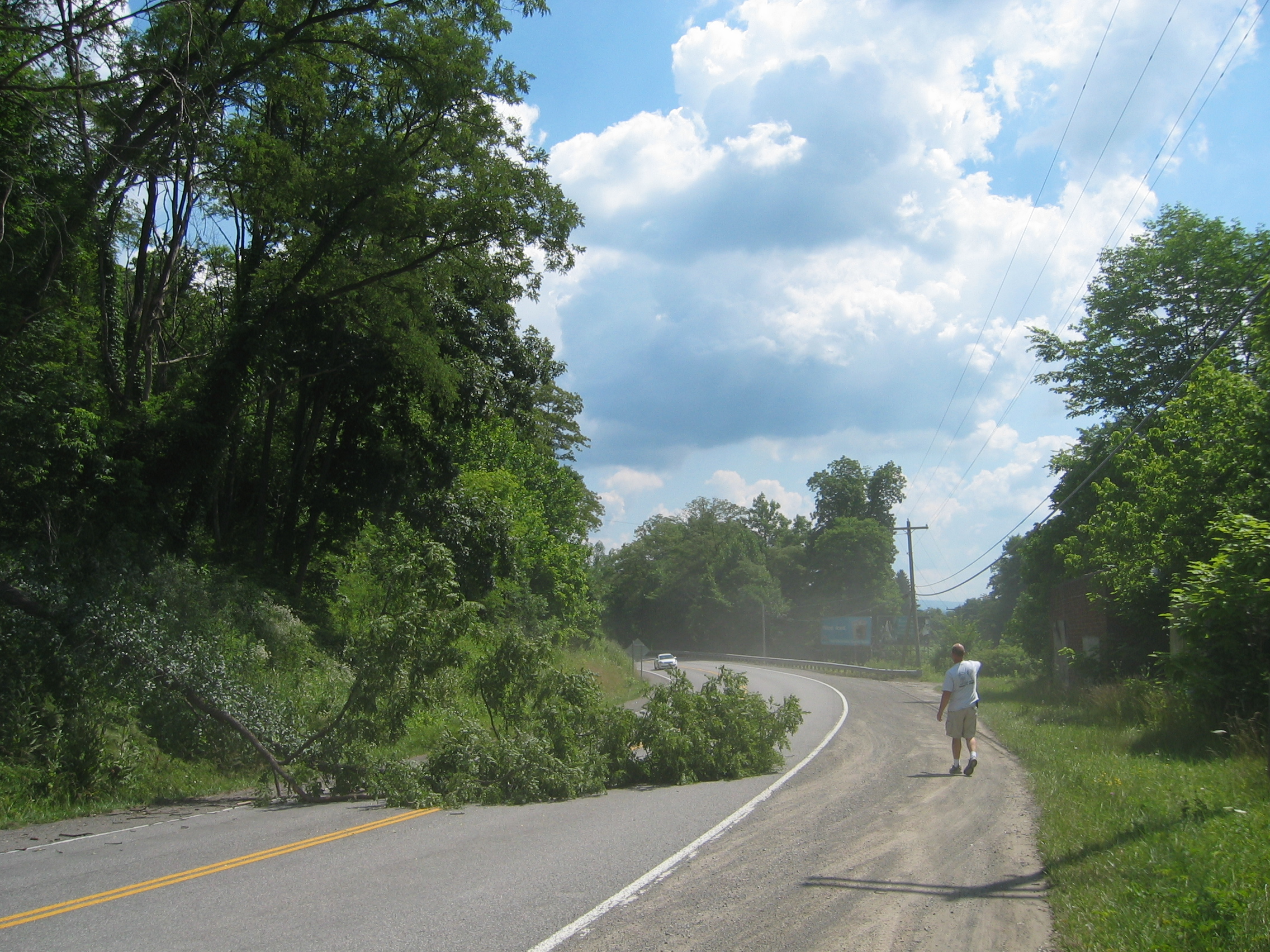
Later when I am back on the road, a tree has fallen
onto the road. I have no problems to stop, as I am in no hurry. It is
too heavy to be moved by hand, so the guy in above picture has just
called the fire brigade.
A few miles beyond Ripley
I finally reach the Ohio
River. That river represents the entire length of the border between
West Virginia and Ohio.
But it flows from here in a long circle north, so I need not to cross
it here. Instead I ride on until the river returns southwards at Henderson,
where I take the bridge into Gallipolis
on the Ohio side. This town runs for quite a few miles along the river,
and all these useless traffic lights are getting on my nerves. But finally
I reach the open road again, heading south-west towards Ironton.
This area also is a stronghold of the Amish
people. Though they do not use cars, they nevertheless leave their mark
on local signposting:
For the third time today the Ohio River is blocking
my way when I reach Ironton. This time I cross it on the bridge into
Ashland,
which means that I am now in Kentucky.
Ashland does not look like a nice place to stay for the night, so I
ride on to Grayson,
which is much smaller.
My motel room even has HBO
and a jacuzzi
- I never tried one before, but I believe one is never too old to try
something new.
If you like you can download my route and tracklog for this great ride
here.
- 154100 km on the bike
The NOAA website predicts a repeat of yesterdays weather.
It will be even hotter today, probably up to 95° Fahrenheit.
The motel thermometer already shows 85 degrees when I set out south-westwards
from Grayson at 10 am.
The countryside here along the Little
Sandy River is very pleasant woodlands. As it is Sunday, there are
already many local bikers out here. I have to say that the large majority
of them from my type of classification fall into the "irresponsible
idiots" category; hardly anybody wears a helmet and T-shirts and
boxer shorts are apparently the standard outfit for Kentucky's bikers.
The scale is topped by those bikers that ride without helmet, but have
one tied to their sissy
bar.
But at least the biking is fun. The country is still fairly hilly and
the heat is still bearable this early in the day.
I have a brief lunch at a pizzeria, where they do a
"mini-pizza" of just 10 inches diameter, intended as a little
snack in between meals for US Americans - just the right size to see
me through another 24 hours.
It is really heating up now, and I resort to watering my jacket and
pants again - this really works fine.
At Raywick
there is a bar with a "bikers welcome" sign outside. Inside
it is 25 degrees cooler than outside - the air conditioner is working
overtime. While I am having a chat with the barman, another chap comes
in and asks whether anyone knows the way to Fort
Knox. Apparently his navigation system is misleading him (he uses
another brand than myself). The locals tell him how to get there. I
find that it is just 25 miles north-west from here, so I decide to have
a look myself to find out if my Garmin system can find the place all
right.
The bar owner categorically refuses to accept any money for the two
cans of ice-cold diet coke I had to cool me down.
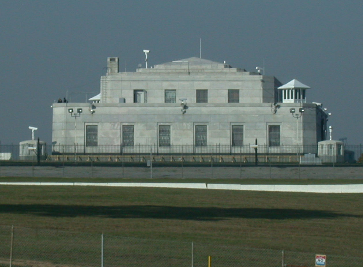
40 minutes later I arrive at Fort Knox, where supposedly the US government
currently stores about 4500 tons of gold bullion. As it is classified
as a US military installation, I am unfortunately not allowed to take
any pictures. As I do not intend to finish my journey at Guantanamo
Bay prison, I adhere to the "no pictures" policy. Here
is a picture from the Wiki
taken before the US government became too afraid of its own electorate:
It is now 6 pm and it is still sweltering hot, so I
just drive into nearby Elizabethtown
and get a room at the local Econolodge.
The receptionist has been in the US
Army stationed in Germany
during the 1980's and has spend some quality time in Switzerland
as well - and liked it so much that I get the room at service personnel
rate.
A cold shower and the air conditioning in my room set to 68 degrees
ensure that I feel much cooler in no time.
- 154550 km on the bike
The tap water here in Elizabethtown is awful and undrinkable,
so I have two cans of diet coke instead for breakfast and set out at
10 am, once again past Fort Knox to highway
60 heading due west towards Cloverport
and my fourth encounter with the Ohio River. I have to stop at a railway
crossing. The freight train is already running over the crossing, so
I can't say how many freight cars have already passed the crossing.
But I count 78 more, each 100 feet long, before the train is through.
Everything in this country is just bigger and longer than in Europe.
I cross the river into Cannelton,
which means that I am now in Indiana.
I follow the river on its northern shore for a few miles, but this part
of Indiana is far too urbanized for my liking. Boonville,
Evansville
or Mount
Vernon are just some of the crowded areas I have to pass through.
I also leave the last traces of the Appalachians behind - the countryside
is nearly as flat as a pancake now and the last curves are disappearing
in my rear mirrors.
But then I reach the toll
bridge (only 30 cents for bikes) over the Wabash
River, which forms the border to Illinois
here, and hey, that place is much better for biking. The ride into Harrisburg
is fast and good fun - and Kittie is running perfectly, in spite of
the stifling heat.
Once again I am one of the few bikers wearing a helmet (though it is
actually required to wear one by law in Illinois) and definitely the
only one wearing any protective clothing. The one compromise I made
was to do away with my heavy gloves during the last few days. This however
has roasted the backside of my hands into some dark brown colour which
makes my hands look like they belong to a bricklayer.
I sort this out by stopping at a Wal-Mart
and getting myself a pair of thin bicycle gloves.
The roads are straight as arrows around here, but again the numerous
traffic lights which could perfectly well be replaced by roundabouts
are sometimes rather annoying. I have worked out that on any given day
I spend about one hour sitting in front of a red light that has no right
to be there at all. This inefficient traffic system must cost the United
States billions of dollars annually in wasted time, wasted petrol and
delayed arrivals. Has none of these guys responsible for road building
ever been to Europe?
At last I arrive at the Mississippi
River at Chester,
about 30 miles south of St.
Louis. In honour of its most celebrated citizen, the town even has
a Popeye
statue.
The river also marks my entry into the state of Missouri.
I am doing well on the mileage today, but that is easy because I have
"gained" another hour, now biking through Central
time states.
I finish the day after 500 km at a cozy motel in Fredericktown,
where I am invited for a beer by two bikers on Harleys. This is the
country of Samuel
Langhorne Clemens, which I hope you have read - else download his
work here.
So what better to do than to have a drink and a chat with bikers from
this area. As usual, you can download today's entire journey here.
- 155050 km on the bike
Do you know Apu Nahasapeemapetilon? Probably not, so let me explain
step by step how this gentlemen from India becomes important in today's
biking.
I have an early start, setting off at 9 am on highway 72 towards Arcadia.
It soon becomes apparent, that yesterdays weather forecast was a total
fairy
tale. Instead of the thunderstorms predicted in the severe
weather warning issued yesterday at 3 pm, the sky this morning gets
more and more overcast and soon it starts to drizzle. Instead of the
predicted 82 degrees the temperature drops slowly to 71 degrees instead.
Don't get me wrong, I like that kind of weather much better than 96
degrees and sweltering humidity, but I fail to see how any weather service
can get it that wrong just 12 hours before it happens.
Biking however is all the more pleasant for me. And Missouri has a surprising
number of winding roads. I do not see any reason why the roads do wind
- the country is fairly flat. The possible explanations are:
1. The southern Missouri road planners are all ardent motorbikers
2. The southern Missouri road planners were completely drunk when they
plotted the course of these roads
3. The southern Missouri road planners plotted these roads along old
pioneer tracks - and those pioneers were completely drunk when they
first came here
But that is just the beginning of the fun.
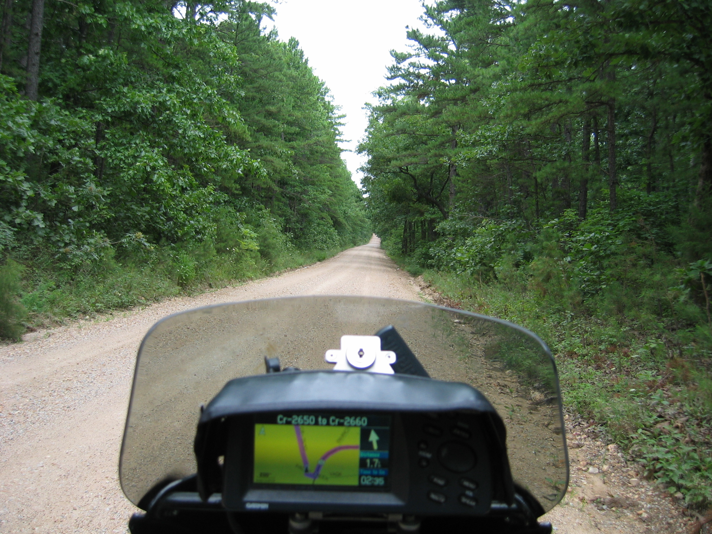
Soon I turn onto highway 32 into the Mark Twain National Forest, and that place is truly amazing. Not only does it cover most of southern Missouri, it is also next to unpopulated. Villages are about 50 miles apart from each other. Near Roby my GPS system even guides me along 6 miles of dirt road through the middle of the forest, incorporating a ford that luckily is easily passable due to the dry conditions in the recent weeks.
But soon I am again biking on immaculate highways towards the town of Lebanon, where I have my usual frugal lunch at a Chinese restaurant for the princely sum of six dollars.
Highway 32 continues to carry me westwards - and fast. At El
Dorado Springs I notice a large
Triumph dealership. Let's stop there and see if they have a
replacement for the front windscreen rubber frame in stock that
went AWOL
in those heavy showers in Northern Québec a few weeks ago
(can you see it missing in above picture?).
I talk to the parts guru - and they don't have one. But they have
a 2006 Tiger in stock, and they are happy to strip that bike of
its rubber windscreen frame and give it to me for 12 dollars - sounds
like a good deal to me.
I also ask them for a quote on a replacement of Kitty's tyres -
and the quote is nearly 500 dollars.
I expected this, but considering that I can get the same job done
for 200 Euros
at Feneberg
tyres in Germany I am not amused. But unlike in Europe, ordinary
tyre fitting shops do not do motorbike tyres in the United States.
While I have been at the dealership, the drizzly clouds have disappeared
and it has again become stifling hot and humid outside.
Later I continue westwards on highway 54. I can see a big, black cloud looming over the border area to Kansas. Out here one has to watch out for every unusual weather phenomenon, as I am now in the centre of tornado alley. Luckily all I get out of that big cloud is a good dousing of my clothing - a very welcome cooling down, as it is now already about 85 degrees again.
If compared to Missouri, Kansas has to be called a quite boring
state for motorbiking. But it is good for making rapid mileage.
I end the day after more than 500 kilometres in Chanute
at the Skyline motel. This motel is about the cheapest digs in town,
being run by an Indian family.
Let us now come back to that Indian gentleman, Apu
Nahasapeemapetilon I mentioned earlier. If you ever saw this
fictional character in the
Simpsons animated cartoon series, then you may get an idea what
I am on about; they always say "Thank you, come again",
even to the most unpleasant guests at the Skyline motel. The big
sign outside the town announcing that one can stay here for 25 dollars
per night of course attracts all sorts of low-lifers
who can't afford to stay anywhere more expensive. And it attracts
me, because I always like to see how things are on the not-so-bright-side-of-life
in those countries I visit:
The motel has air conditioning, cable TV - and that's it. They also
have Internet access, although the owners do not know that. The
rooms are grimy to say the least, the towels have holes in them
because they are so old and the plumbing produces interesting sound
effects.
At the reception I meet Nick, a spaced-out hippie about ten years
older than me, who still thinks that it is 1968. We go out for a
drink and he tells me that for the past ten month he has been hitch-hiking
all over the United States from one odd job to the next. Like 47
million of his fellow countrymen he has no health
insurance (ooops, come to think about it, for the past seven
month I didn't have any either...) and prefers
to work "cash in hand".
We walk into town, and with an amazing display of instinct, Nick
finds the one bar in town where there is now "Happy
Hour". His numerous giant pitchers of lager are sold for
two dollars apiece, and my four gin-tonics
set me back just eight dollars. I leave after an hour, as it becomes
obvious that Nick is intending to get himself completely stoned
in town - watch this space to see if there is anything else to report
about this evening.
- 155550 km on the bike
No, to my surprise they were no nightly parties, drug dealers or
shoot-outs during the night. So I am off at 10 am due west. After
a few miles I reach highway 400. Sally tells me "Drive threehundredandseventeen
kilometres west, then exit right". I do exactly that. Two hours
later I reach Wichita.
The city is gigantic considering that only 350000 people live here.
Traffic runs smoothly through the town, except of course for those
idiotic traffic lights.
At Kingman
I stop at "Houdini's Pizzeria". This stop is memorable,
because I am being served the worst pizza I have ever had in my
life. The whole thing is covered in one inch of green salad. I scrape
that stuff off it and start searching for the cheese that is supposed
to be there somewhere. I find a microscopically small amount of
factory-processed junk cheese on the thinnest pizza I have ever
seen. The ice tea they serve with it tastes as if they have washed
the dishes in it.
But soon things look up when I am back on the road, which is of course straight as an arrow. That is, until I reach Kiowa County and in it the town of Greensburg. When I said yesterday that this here is Tornado Alley, I did not know that today I would come across a town that has been virtually wiped out by a magnitude 5 monster tornado.
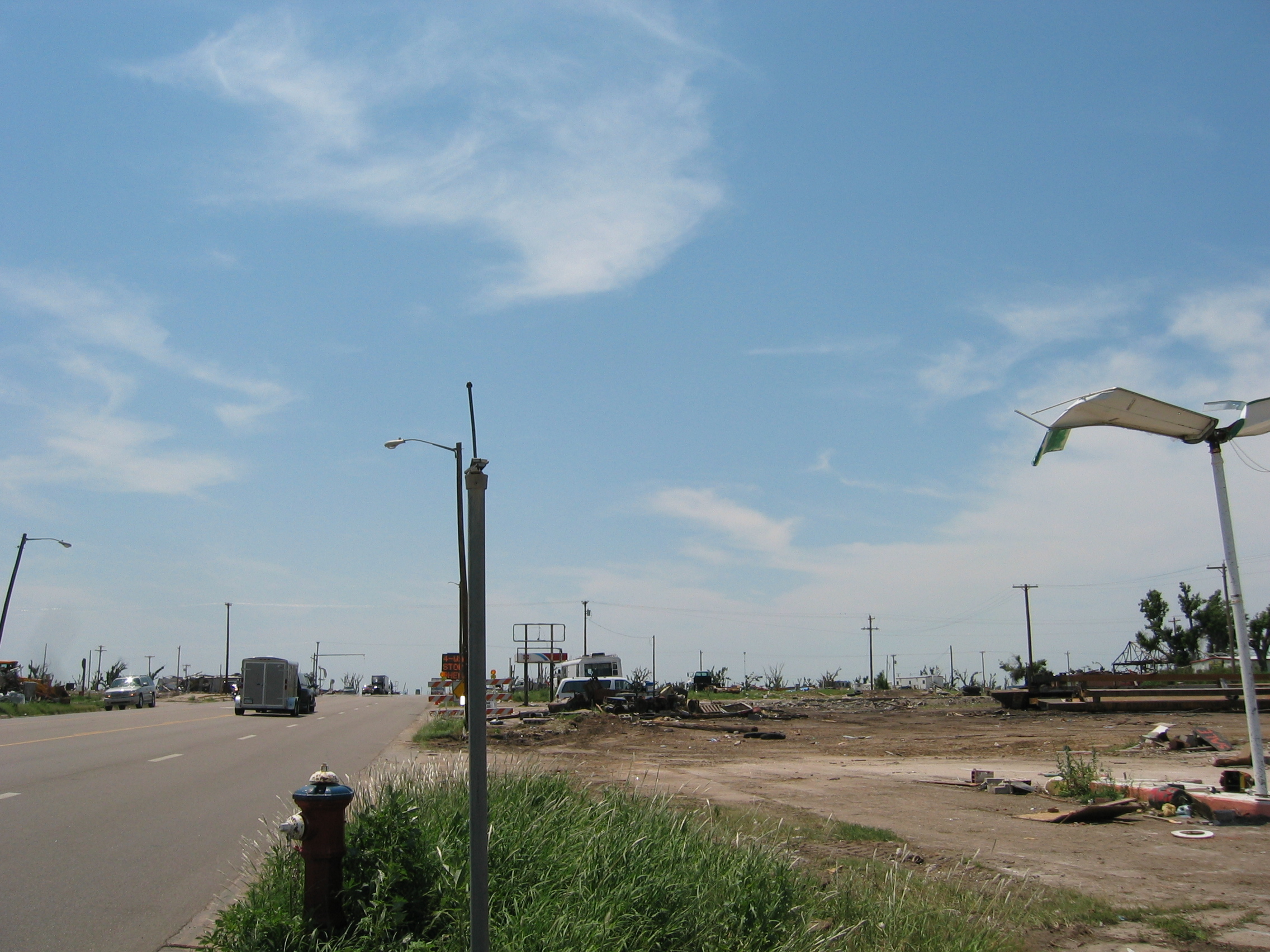
The above picture I took today in downtown Greensburg, 10 weeks after the destruction of the town. The townspeople have removed most of the debris, but the place couldn't look more devastated if a nuclear bomb had exploded in the town centre. We all have seen these things on television, but I can now vouch for it, that on TV one does not see a fraction of the real destruction. This occurrence was (so far) the only category five tornado hitting a town since category five was defined.
Going onwards I now begin to suffer from the ever increasing wind.
The land is flat and without forests or other windbreakers. I am
heading west, and the wind blasts very gustily from south-east by
south. Regular, constant wind is no problem when motorbiking - the
bike just leans permanently a few degrees against the wind. That
looks funny, but is quite safe. Gusting wind however is a nuisance,
because the bike tends to be blown off course all the time, requiring
a lot of concentration and a lot of brute force from the biker.
This is not helped by those trucks going in opposite direction.
They drive into the wind, and as most American trucks feature aerodynamics
similar to a brick wall, they nearly blast me off the road when
they pass at 70 mph.
I decide to call it a day, but that is not so easy when biking out
here - because the nearest town may be 100 miles down the road.
I have to continue for another hour before I reach Ulysses,
where I find a much nicer motel than last night.
- 156100 km on the bike
I had a rest day yesterday. Instead of biking, I had a stroll through
the town, surf the web and finally manage to get the Gnome
network manager going with all forms of encryption.
I find, that channel 12 of local TV is run by Ulysses college
- a great idea. Another channel is dedicated entirely to tornados;
when twisters
are located, they show maps and radar images of the affected areas.
At all other times they show advice on what to do if a tornado is
about to strike. I would suggest, that the implementation of proper
building standards instead of the usual cardboard box style housing and the introduction of compulsory cellars and shelters would do much more to protect the local population as well as its environment.
My lunch is
taken at a Pizza
Hut junk food parlor next to the motel. The food there is not
too bad - at lunchtime one can choose from a large buffet, that
also includes items fit for a foreign tummy.
Next morning I set out under brilliant conditions. Ulysses is already
3000 feet AMSL, but the High Plains now slowly get even higher up.
After 30 miles I reach the border to Colorado.
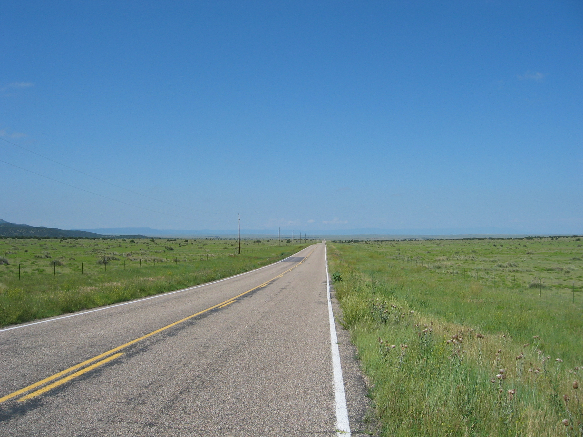
The picture above looks like I am biking in perfectly flat country,
but really I am climbing up all the time and my GPS shows 1840 metres
for the above picture (5600 feet).
At Trinidad I have a brief lunch
I am driving along the border of Colorado
and Oklahoma
on highway
160. On the horizon appear the first ridges of the Rocky
Mountains. Then Oklahoma drops behind me and I am now driving
along the border with New
Mexico. Snow-topped mountains appear ahead, and soon my route
traverses the San
Isabel National Forest - and tops at at 3048 metres AMSL (9300
feet). This is higher than the highest passes in the Alps.
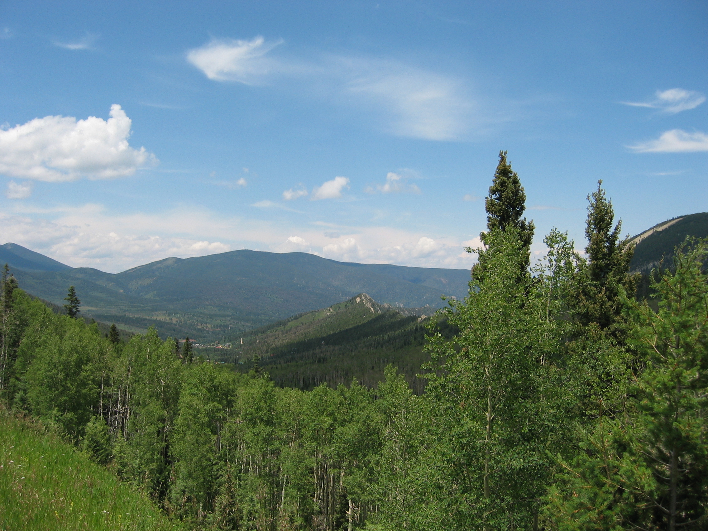
The views are excellent up here, and though it is fairly cool and
I am a bit tired from the high altitude, biking is good fun.
At Fort
Garland I am out of the San Isabel Forest. Ahead I see the large,
flat area of the San
Luis Valley. This "flats" is still 7300 feet AMSL,
but now I also see heavy rain showers ahead. At Fort Garland all
motels are full. Apparently there is a big funeral going on locally.
But at Alamosa
(which I manage to reach without getting overly wet) I find a cheap
room at the Valley Motel.
- 156600 km on the bike
Below is the usual map with my GPS tracklog and some trip markers.